← Home · Laboratory

Atterberg Limits Testing in Coquitlam: Clay, Silt, and Foundation Performance

Together, we solve the challenges of tomorrow.

LEARN MORE →

The difference between building on the upland till near Burke Mountain and the softer soils closer to the Fraser River is stark. One site yields a firm, gravelly matrix that drains quickly; the other holds moisture and changes volume with every wet season. Atterberg limits testing quantifies that behavioral gap. By measuring the liquid limit, plastic limit, and plasticity index of fine-grained soils, the team identifies exactly how a Coquitlam soil will respond to water content changes. For contractors working near Como Lake or along the Barnet Highway corridor, that data turns soil uncertainty into a manageable design parameter. In many cases, grain-size analysis provides the complementary particle distribution needed to classify the full soil profile under the Unified Soil Classification System.

A plasticity index above 15 in Coquitlam's glacial lake sediments signals that seasonal moisture cycling will influence foundation performance.

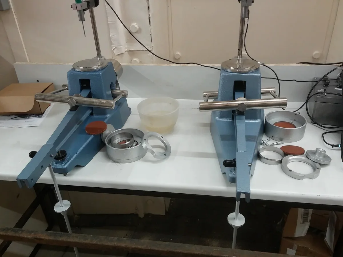
Methodology and scope

Much of Coquitlam sits on a complex stratigraphy of Vashon glacial till overlying advance outwash and, in lower areas, glaciomarine stony clay. The till itself is typically a dense, silty sand with low plasticity, but lenses of laminated silt and clay appear unpredictably, particularly in the Maillardville and Fraser Mills redevelopment zones. Atterberg limits testing under ASTM D4318-17e1 separates truly plastic clays from non-plastic silts that might be mistaken for clay during field logging. The laboratory procedure involves the Casagrande cup device for liquid limit determination and the rolling-thread method for plastic limit, both performed on material passing the No. 40 sieve. When the plasticity index exceeds 15, the soil warrants careful shrink-swell evaluation before foundation grade is set. Coquitlam's average annual precipitation of roughly 1,900 mm, concentrated between October and April, creates seasonal moisture cycles that expose even moderate-plasticity soils to volume change risk over time.
Atterberg Limits Testing in Coquitlam: Clay, Silt, and Foundation Performance
Technical reference image — Coquitlam

Local considerations

The transformation of Coquitlam from a mill town into a dense suburban node reshaped the ground beneath it. Fraser Mills, once the largest lumber mill in the British Empire, left behind fill and organic silts that now underpin modern mixed-use projects. Foundation distress in these zones often traces back to fine-grained soils with a liquidity index near or above 1.0, a condition where the soil behaves more like a viscous fluid than a solid when remolded. Atterberg limits testing identifies this sensitivity before excavation begins. Even on the slopes of Westwood Plateau, where glacial till dominates, thin interbeds of laminated silt can develop perched water tables that soften the material over time. Quantifying the plasticity index allows geotechnical engineers to assign appropriate bearing capacity reduction factors and to specify lime or cement stabilization where the native soil falls outside the acceptable range for structural fill.

Need a geotechnical assessment?

Reply within 24h.

Email: contact@geotechnicalengineering.vip

Technical data

ParameterTypical value
Liquid Limit (LL)Water content at soil transition from plastic to liquid state (ASTM D4318)
Plastic Limit (PL)Water content at soil transition from semi-solid to plastic state
Plasticity Index (PI = LL - PL)Range of water content over which soil behaves plastically
Liquidity Index (LI)In-situ state relative to Atterberg limits; LI > 1 indicates sensitive, remolded soil
Activity of ClayPI divided by clay fraction (<2 µm); values >1.25 indicate active, high-shrinkage clay minerals
Standard ReferenceASTM D4318-17e1, AASHTO T-89/T-90

Associated technical services

01

Atterberg Limits – Full Suite

Liquid limit, plastic limit, and plasticity index determination on disturbed samples recovered from test pits or SPT split spoons. Includes soil classification per USCS, activity calculation for clay mineralogy assessment, and a brief interpretive memo discussing shrink-swell potential relative to Coquitlam's seasonal groundwater regime.

02

Correlative Index Testing

Combined Atterberg limits, natural water content, and grain-size distribution for liquidity index calculation and full classification. This package is specified when site soils show visual evidence of soft, sensitive behavior or when the project involves deep excavations where remolded strength governs constructability.

Applicable standards

ASTM D4318-17e1: Standard Test Methods for Liquid Limit, Plastic Limit, and Plasticity Index of Soils, AASHTO T-89/T-90: Standard Method of Test for Determining the Liquid Limit and Plastic Limit of Soils, ASTM D2487-17e1: Standard Practice for Classification of Soils for Engineering Purposes (Unified Soil Classification System)

Quick answers

Why are Atterberg limits important for foundation design in Coquitlam?

Fine-grained soils with moderate to high plasticity change volume as water content fluctuates. In Coquitlam, the wet winter and dry summer cycle creates exactly those fluctuations. Knowing the liquid and plastic limits tells the engineer how wide that volume change range could be, which directly informs footing depth, slab reinforcement, and whether soil replacement or stabilization is needed before construction.

How much does Atterberg limits testing cost per sample in Coquitlam?
What soil types in Coquitlam most often require Atterberg testing?

The glaciomarine stony clay found in lower Coquitlam and the laminated silt lenses within the Vashon till are the two units that most frequently trigger Atterberg testing requirements. Both can appear firm in the field but exhibit plasticity indices high enough to affect foundation performance. Any fine-grained soil encountered below the organic horizon in the Fraser Mills area should be tested as standard practice.

Location and service area

We serve projects across Coquitlam and surrounding areas.

View larger map