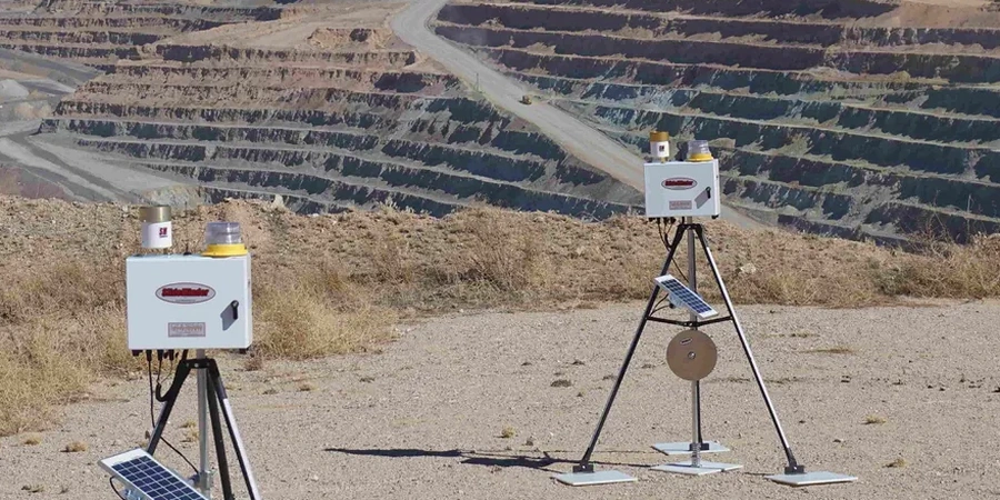
The mistake we see most often in Coquitlam is treating excavation monitoring as a checkbox exercise rather than a dynamic safety tool. A contractor sets up a couple of survey prisms, checks them weekly, and calls it a day. That approach ignores how fast conditions can change in the glacial till and marine sediments that dominate the Port Moody-Coquitlam corridor. When you are cutting 6 meters or more into the side of the Westwood Plateau or dewatering near the Fraser River, you are dealing with a soil profile that can shift from dense till to soft silt in a single meter of depth. Our monitoring programs are built to catch those transitions before they become problems. We combine inclinometers, piezometers, and high-frequency survey targets with deep excavation design expertise so the data actually informs the construction sequence.
A stable excavation in Coquitlam's glacial soils depends less on luck and more on how quickly you react to the data your instruments are giving you.
Local considerations
The risk profile for an excavation in Maillardville versus one in Burke Mountain is not even close. Maillardville sits on deeper, softer deposits—we have measured lateral deformations exceeding 30 mm before the shoring design was adjusted, and that is enough to crack a cast-iron water main. Up on the plateau, the bigger threat is boulder-sized erratics in the till that create point loads on soldier piles or lagging. If the monitoring data shows an unexpected displacement vector, we do not wait for the weekly meeting. We flag it, review the trigger thresholds against the slope stability analysis, and recommend an operational change—sometimes as simple as reducing the unsupported span, sometimes requiring additional tieback load testing. The cost of ignoring early movement in Coquitlam's variable ground is not theoretical; we have been called in to remediate collapses that started with a few millimeters of movement nobody acted on.
Quick answers
What is the typical cost range for geotechnical excavation monitoring in Coquitlam?
How often should monitoring readings be taken during excavation in Coquitlam?
We take baseline readings before the first bucket enters the ground, then move to daily readings during active cut advancement. If the cut is advancing more than 1 vertical meter per day, or if groundwater is being lowered aggressively, we increase frequency to twice daily. Once the cut reaches final grade and the shoring system is fully installed, we typically step down to weekly readings for a stabilization period of 2 to 4 weeks.
What instruments are most important for Coquitlam's glacial till?
Inclinometers are non-negotiable—they capture lateral deflection of the shoring system and detect deep-seated movement that survey prisms on the surface will miss. Vibrating wire piezometers are equally critical because perched groundwater in the till is unpredictable and can destabilize a face within hours. On sites near the Coquitlam River, we also install surface settlement plates to track consolidation of the soft alluvial clays.
Do you provide monitoring reports that the City of Coquitlam will accept?
Yes. Our daily and weekly reports are formatted to meet the City of Coquitlam's requirements for excavation support documentation. Each report includes instrument readings, graphical plots of deformation versus time, exceedance notifications if any thresholds were triggered, and a short commentary from the reviewing geotechnical engineer. We have submitted these for projects along Austin Avenue, Pipeline Road, and in the Burke Mountain development area.
What are the warning signs that an excavation in Coquitlam is becoming unstable?
In our experience, the three most reliable early indicators from instrumentation are: a sustained increase in inclinometer deflection rate without a corresponding increase in excavation depth, a rapid rise in piezometer readings after rainfall (suggesting a groundwater connection opened up), and rotational settlement of survey points on the retained side of the shoring. If any of these appear, we recommend stopping work, reviewing the data against the design assumptions, and inspecting the face and adjacent structures immediately.