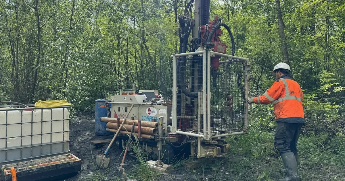
When you walk a site in Coquitlam, the ground rarely tells a simple story. One corner might be dense Vashon till, another shows pockets of soft Capilano sediments, and sometimes you hit bedrock within three meters. That variability—shaped by the last glaciation and the steep creeks draining into the Fraser and Pitt rivers—means a soil mechanics study here cannot rely on textbook assumptions alone. We see it constantly: two adjacent lots in Westwood Plateau or Burke Mountain with completely different bearing capacities. A proper study identifies those transitions before excavation starts. For deeper profiling, we often pair the investigation with SPT drilling to quantify relative density in granular layers, especially when the till transitions to loose outwash at depth.
Coquitlam's glacial history left a complex stratigraphy where bearing capacity can change dramatically over just a few meters laterally.
Local considerations
Coquitlam sits at the edge of the Fraser Valley, where the transition from steep mountain slopes to flat floodplain creates a specific geotechnical risk: colluvium and landslide-prone debris on the hillsides, and compressible alluvial soils in the lowlands. The city's slope hazard development permit areas—mapped along Burke Mountain, Westwood Plateau, and the escarpments above Maillardville—require soil mechanics studies to demonstrate stability before any building permit is issued. Ignoring this step can lead to foundation distress within the first five years. A site on a 15% grade demands a different investigation strategy than a flat lot in the Town Centre; we design the program to capture the failure envelope of the soil and the influence of groundwater, which is often the trigger for shallow slope movement during the rainy winter months.
Quick answers
What does a soil mechanics study cost in Coquitlam?
How long does the investigation take from start to report delivery?
Fieldwork is usually completed in one to two days. Laboratory testing adds seven to ten business days for standard index tests; shear strength or consolidation tests can extend that by two weeks. The final report is typically delivered within four weeks of mobilization, though we can issue preliminary bearing capacity figures earlier if the foundation contractor is on standby.
Does a soil mechanics study cover the slope hazard area requirements in Coquitlam?
Yes, it forms the core of the geotechnical submission for Slope Hazard Development Permit Areas. The study must characterize the soil shear strength, model the factor of safety under static and seismic conditions per NBCC 2020, and address groundwater management. Our reports are structured to meet the City of Coquitlam's technical submission checklist directly.
What is the difference between a soil mechanics study and a simple bearing capacity test?
A bearing capacity test—like a plate load test—gives one number at one depth. A soil mechanics study provides the complete stress-strain behavior of the soil profile: shear strength, compressibility, permeability, and unit weight. This matters in Coquitlam because the till often overlies softer sediments; knowing only the top-layer bearing capacity can miss a settlement problem in the underlying silt.