Coquitlam sits at the foot of the Coast Mountains, where slopes exceeding 30 degrees are common across neighborhoods like Westwood Plateau and Burke Mountain. With an average annual precipitation of 1,850 mm, the city experiences some of the highest rainfall in Metro Vancouver, which directly influences pore-water pressure and soil cohesion in natural and engineered slopes. A rigorous slope stability analysis becomes essential before any excavation, retaining structure, or foundation design. Our accredited laboratory in the Lower Mainland executes these evaluations following the National Building Code of Canada and ASTM standards, delivering factor of safety calculations that account for seismic loading, groundwater conditions, and the complex glacial till and colluvium deposits typical of Coquitlam's terrain. The process integrates field investigation data to build reliable geotechnical models.
A slope in Coquitlam's glacial till can lose up to 40% of its shear strength after prolonged rainfall, and failing to model that transient condition is the most common cause of post-construction instability.
Methodology and scope
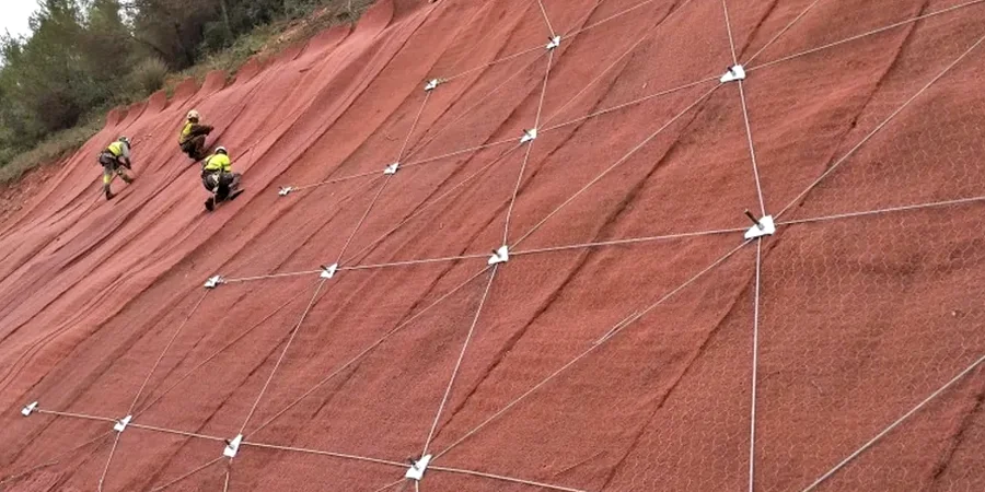
The surficial geology of Coquitlam is dominated by Vashon till, glaciomarine sediments, and post-glacial colluvium that mantles the steeper hillsides. These materials exhibit significant variability in shear strength, with friction angles ranging from 28 to 38 degrees depending on clay content and compaction history. Our slope stability analysis workflow begins with a site-specific investigation to characterize these units, often combining
test pits to expose the shallow stratigraphy and
CPT testing to profile deeper deposits without disturbing the sample. We apply limit equilibrium methods, including Spencer and Morgenstern-Price, to evaluate both circular and non-circular failure surfaces, while finite element modeling captures stress redistribution in complex geometries. For slopes adjacent to infrastructure, we incorporate dynamic loading scenarios per NBCC 2020 seismic hazard values, ensuring the design meets the minimum factor of safety of 1.5 for static conditions and 1.1 for pseudo-static seismic cases. The analysis also considers vegetation surcharge, surface drainage patterns, and long-term creep behavior in overconsolidated clays.
Quick answers
What is the typical cost of a slope stability analysis in Coquitlam?
How long does it take to complete the slope evaluation?
From the initial site investigation through to the final stability report, the process typically takes 10 to 15 business days. Complex sites requiring finite element modeling may extend the timeline slightly.
Do you analyze slopes for single-family home construction?
Yes, we regularly assess slopes for residential lots, particularly in areas like Westwood Plateau and Burke Mountain where the City of Coquitlam requires a geotechnical stability assessment as part of the building permit application.
What soil tests are needed for the slope analysis?
We typically require effective stress triaxial tests to determine c' and φ', Atterberg limits for classification, and moisture content profiles. For slopes with granular layers, grain size distribution helps assess internal drainage and liquefaction susceptibility.
How do you account for earthquakes in the stability calculation?
We apply a pseudo-static horizontal coefficient derived from the NBCC 2020 peak ground acceleration for Coquitlam, typically 0.5 times the PGA for slopes where limited displacement is acceptable, and run the limit equilibrium model with this additional driving force.