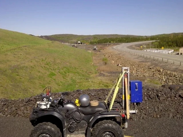
The glacial geology beneath Austin Heights tells a very different story than the Fraser River floodplain near Maillardville. One sits on compact till and bedrock highs. The other overlies deep, compressible sediments. A single borehole can miss the transition zone entirely. Seismic tomography captures these lateral changes across the entire site. P-wave refraction maps bedrock depth. S-wave reflection resolves stiffness contrasts. In Coquitlam, where the Pleistocene stratigraphy shifts abruptly across short distances, this method delivers a continuous profile instead of isolated point data. It is the fastest way to answer the question every geotechnical engineer needs answered: where does competent rock actually begin. We routinely pair the tomographic survey with downhole SPT drilling to ground-truth velocity boundaries with physical samples.
A single refraction line can replace three or four exploratory boreholes when the question is bedrock depth.